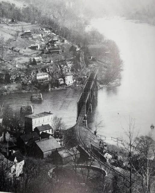
Gauley Bridge
John along with Matthew and James received patents to land along the Gauley and New Rivers in 1820.
7 Dec 1820 John Kincaid 100 Acres
20 Dec 1820 Matthew and James Kincaid 73 Ac
Here is a map of where they were located.
The state would have acquired 4 acres for the bridge abutment when it was built. I am assuming that the original bridge was built in the same location as where the piers are still standing. This would mean that the 4 acres were taken from the 73 acre patent of Matthew and John. It was burnt down on July 11, 1826. Nicholas or Kanawha Counties Courthouse are the most likely to have information as it the 73 Ac. Patent stated both counties and Fayette County was formed in 1831.
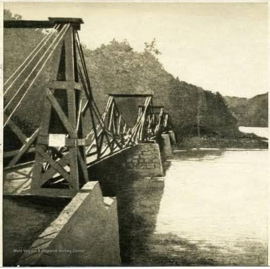
Below are pictures of photos I found on Facebook. The first was said to be the first bridge. Cameras were not invented at the time of the first bridge, so it has to be one that followed. Again, I am going to make the assumption that the first bridge was at or near the same footprint as this bridge.
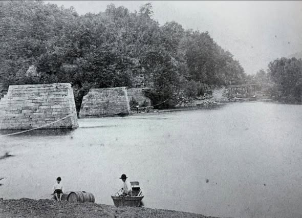
These pictures show the same area after the bridge above was burnt and are noted to be taken in 1875.
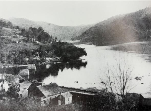
This photo was taken in the 1910's